Mapeo tridimensional para construir acuerdos territoriales: la experiencia de AMARCY el administrador indígena de la Reserva Comunal Yanesha
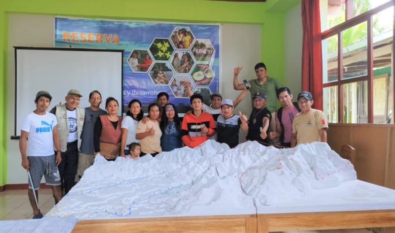
In the Yanesha Communal Reserve, a protected natural area administered by ECA AMARCY (indigenous administrator) and the Peruvian State, ECA AMARCY has led the process of elaborating the three-dimensional mapping of the reserve. This method is based on the extraction of topographic information (contour lines, scale maps) and the construction of a physical model that is used to locate people’s memories of the territory. A tool whose participatory construction process has contributed to the strengthening of the ECA AMARCY, to the construction of a map of their ancestral territory by the population of the communities and annexed colonist partners of the Reserve, to the compilation of information for the rescue of knowledge and the revaluation of the Yanesha culture; and to the improvement of the dialogue on the uses of the territory for an effective management of the Reserve, with full and effective participation of the indigenous peoples that in the communal reserves have the right to the management and use of the natural resources.