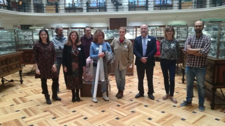
It is a free and volunteering programme established in 2017 by the Geological Survey of Spain (IGME) to promote the conservation of Spanish geoheritage through a follow-up stewardship system. Through a simple registration system, any person may watch over a place of geological interest that, for its scientific, educational or touristic value, that person thinks it is worthwhile to be preserved. They must watch over the site and care for it. Each person contributes to ensure its conservation with the following compromises: 1) To inform IGME of any threat or incident that may occur at the site; if any anomaly is detected, such as e.g. destruction or plundering of minerals or fossils, by an email address (apadrinaunaroca@igme.es); the person is contacted and requested to report on the details of the incident through a form enabled for that purpose; 2) To visit, at least once annually, the geological site of interest that is the object of the stewardship.


