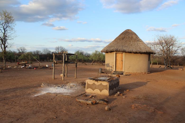

Transfrontier Conservation Areas (TFCAs) were created to achieve the promotion of biodiversity conservation and better living conditions for local residents. The ProSuLi project engaged with four communities living in two TFCAs in three countries (Botswana, Mozambique and Zimbabwe) to identify, co-design, implement and monitor interventions that could improve and diversify livelihoods and manage natural resources.The approach was transdisciplinary, demand-driven and fully participatory, as the project activities were designed by TFCA residents, promoting more environmental justice. The project’s hypothesis was that collective action supported by targeted capacity building and co-designed governance systems could benefit of the whole social-ecological system.