
With the United Nations Decade of Restoration, countries have set a goal of conserving at least 30% of our soils and water by 2030; this requires a robust and transparent monitoring system to measure how many hectares have been restored and how they have improved ecosystem services.
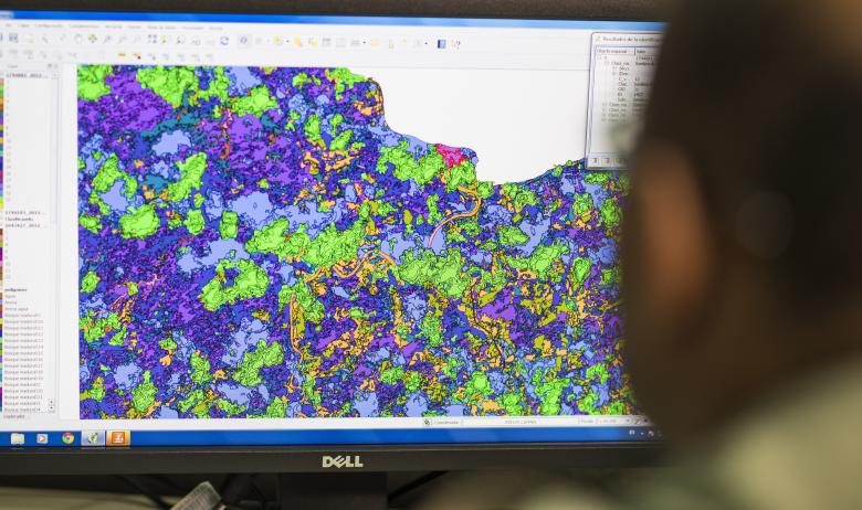
This solution proposes a way to measure and evaluate ecosystem services at the landscape level, including: identification of potential restoration areas, development of suitability indices for restoration measures, measurement of improved carbon sequestration, erosion reduction, improved connectivity and water infiltration; through the application of remote sensing and geospatial analysis.
The solution proposes the following method: 1) Generation of a Baseline and Suitability Indices, 2) Elaboration of a Geographic Database of Management Units; and, 3) Generation of an Impact Line.