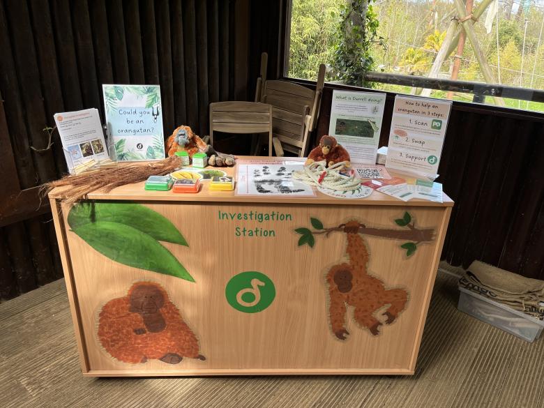
Research shows that people are becoming increasingly disconnected with nature and are, therefore, less likely to adopt pro-environmental behaviours. To inspire Jersey Zoo visitors to take up simple, but effective, conservation actions we developed an ‘Investigation Station’. The staff and volunteer-led station consists of various interactive, sensory-based items and activities to educate visitors about Sumatran orangutans and promote sustainable palm oil use. Each activity also incorporated at least one of the five Nature Connection Pathways (Sensory, Beauty, Emotion, Meaning, Compassion) to, hopefully, reconnect visitors with nature and our orangutans. During the Easter school holidays, alone, the station opened for 56 hours, engaged 2,152 visitors (21.7% of admitted visitors), recruited 12 volunteers to help run it and achieved a mean visitor dwell time of 4m57s.


