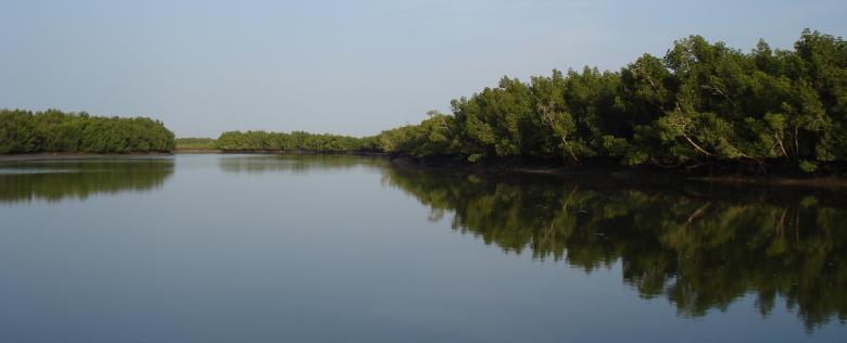
Sea level rise makes it necessary to raise the dikes of rice fields. However, indigenous people of Guinea-Bissau lack employment, and tend to leave the rice fields. The initiative focuses on helping to restore rice fields and mangroves that were once abandoned. A set of alternative activities (fishing, tourism) and conservation measures complement this shared governance model.


