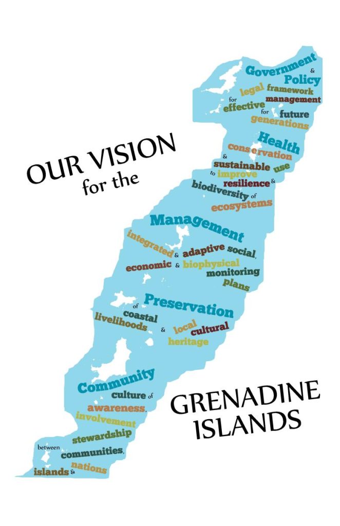
The Grenadines MarSIS illustrates how a participatory geographic information system (PGIS) approach supported the development of demand-driven information on marine resources and spatial uses of the transboundary Grenada Bank. Stakeholder engagement not only increased understanding and provided useful and publicly accessible information, but also created ownership of information produced and validated the role of participation in research and governance.


