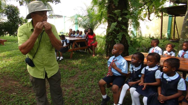

The Lekki Urban Forest and Animal Sanctuary Initiative (LUFASI), a green space in the Lekki Peninsula of Lagos, Nigeria, provides ecological benefits which contribute to the social economic development of the people and mitigating climate change issues in Lagos and Nigeria – at large. However, due to habitat mismanagement practices like heavy encroachment and littering, the LUFASI flora and fauna gets disturbed. In addition, there is a lack of awareness on the importance of the protection of our forests and its benefits. With the establishment of proper habitat management techniques such as constructing an erect boundary fence to dissuade unauthorised entry and implementation of rigorous sensitisation campaigns in the nearby communities, schools, organisations, and the public via designation of nature trails, our interactive workshops provision of informative brochures on the importance of our forests.