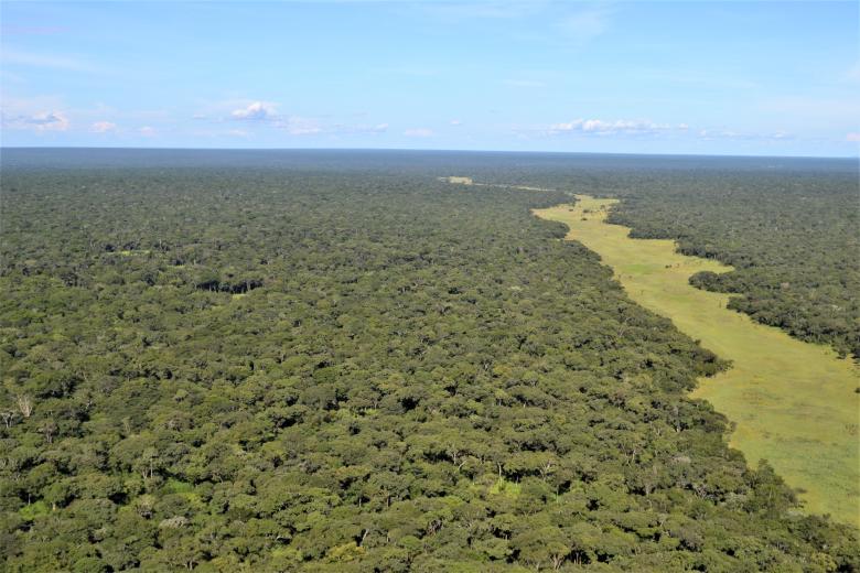
Implementing the ArcGIS Protected Area Management Solution for holistic landscape monitoring in the West Lunga ecosystem, Zambia.
Protected areas are faced with numerous ecological, social, and economic challenges both inside and outside their boundaries. Most of these challenges occur over vast spatial scales and are often magnified by a lack of resources to adequately monitor and respond to challenges. The ArcGIS Protected Area Solution (PAM) is an effective way to address these challenges holistically and at scale. PAM allows users to rapidly configure several workflows for effective area management.
M.A.P Scientific Services implemented PAM for the West Lunga Conservation Project (WLCP) in West Lunga National Park, Zambia. The Solution targeted workflows that improve monitoring of the area, these included remote sensing of deforestation and wildfires, law enforcement, wildlife sightings, and community outreach. Outcomes have allowed for improved monitoring and evidence-based management of the protected area that benefits conservation and communities whose livelihoods are intrinsically dependent on the West Lunga ecosystem and its services.

