Establishing the basis for Marine Spatial Planning in the Azores through a participatory process
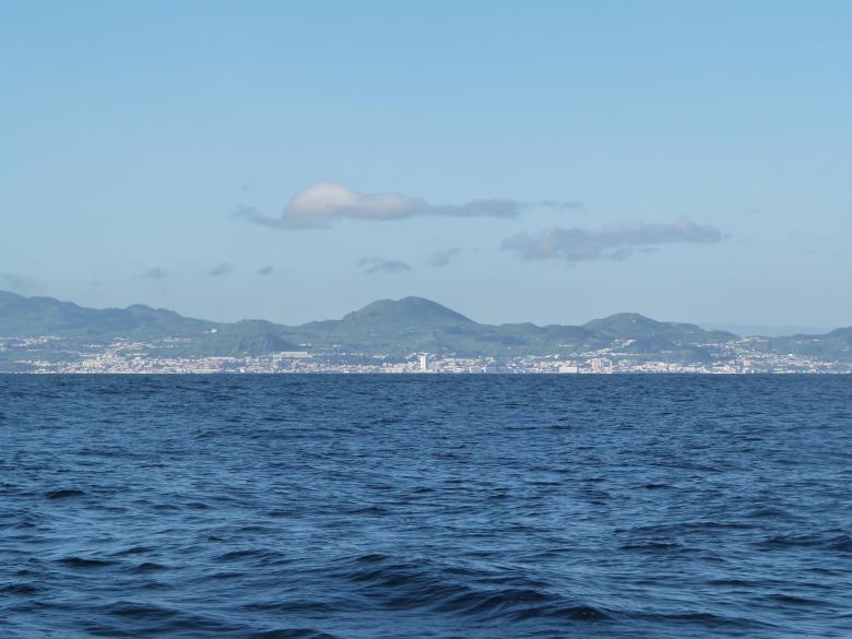
In the middle of the North Atlantic is the Azores, an archipelago of nine islands. Despite their small size, the surrounding maritime space of the islands accounts for almost 1 million square kilometres. Under the European Union (EU) and Portugal legal frameworks for Maritime Spatial Planning (MSP), the autonomous region of the Azores, led by Regional Directorate for Sea Affairs (DRAM), is required to develop its Situation Plan. This is the main MSP policy instrument in Portugal. The Macaronesian Maritime Spatial Planning (MarSP) project came into being to support the development of the maritime spatial plans in the archipelagos of the Macaronesia region (Azores, Canary Islands and Madeira). This pilot project built capacities and tools to implement MSP in these EU outermost regions from 2018 to 2019. The team in the Azores developed innovative methodologies to approach the initial steps of the planning process, where the participation of stakeholders and citizens had a central role.

